 United States site instead?

Descrizione
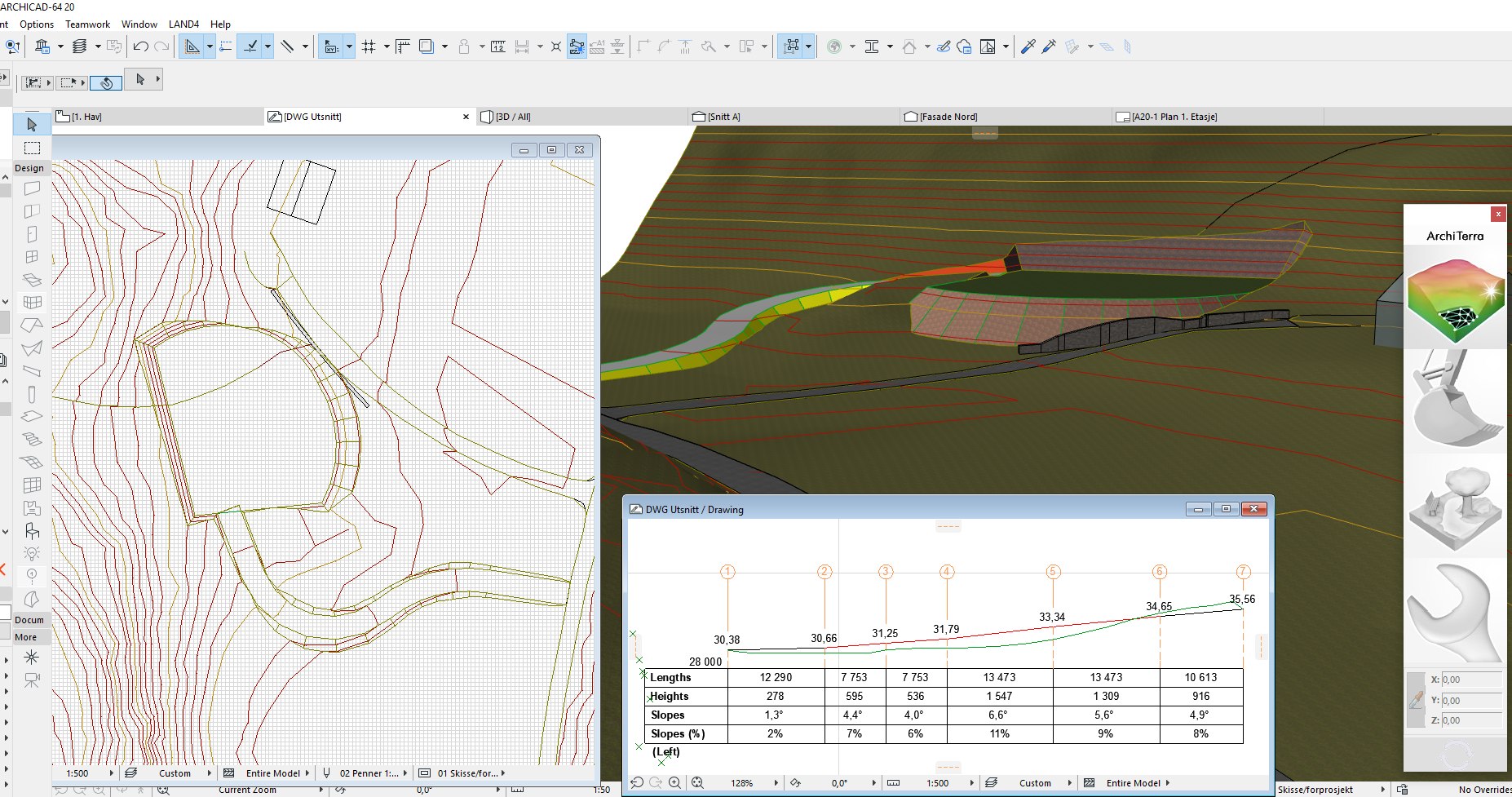
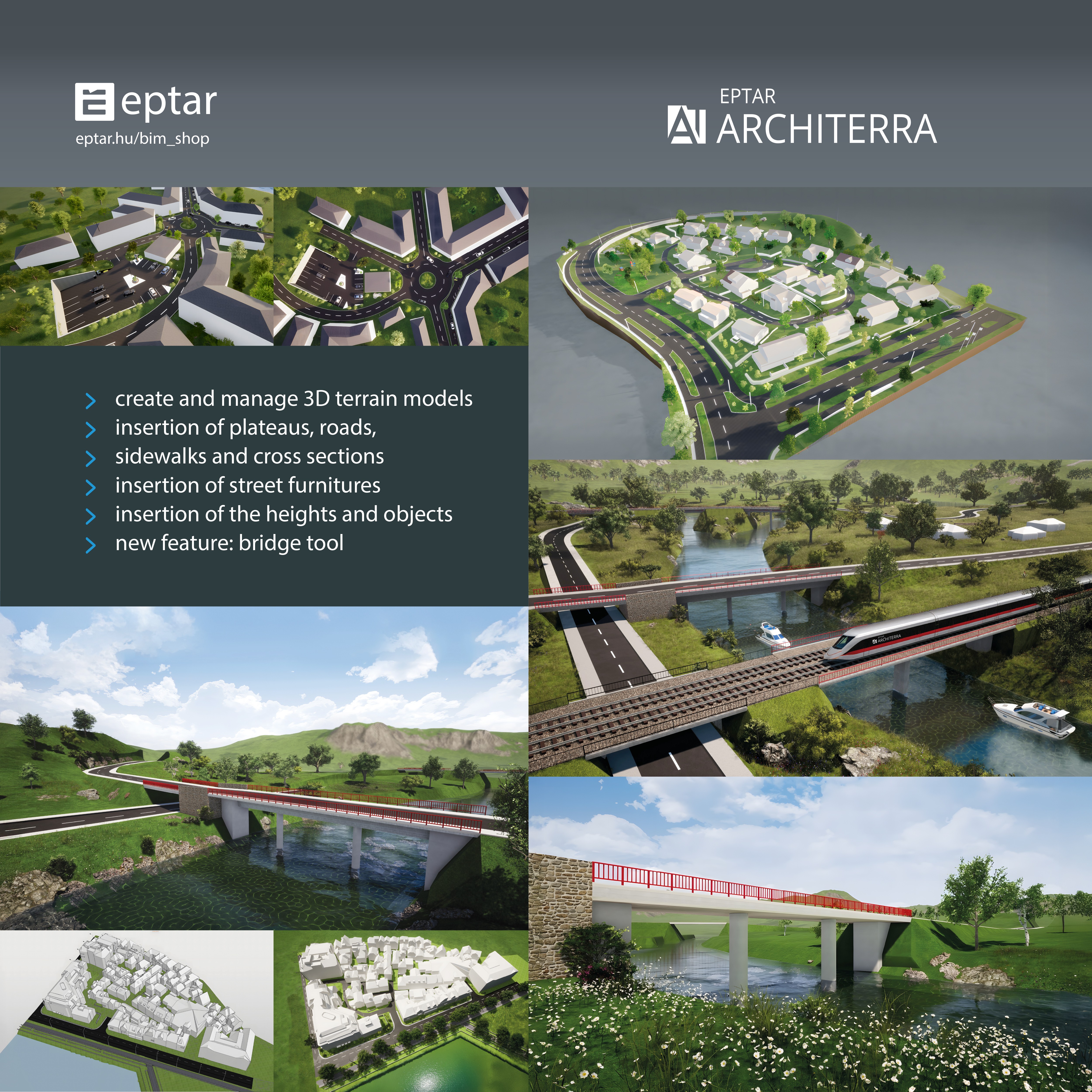
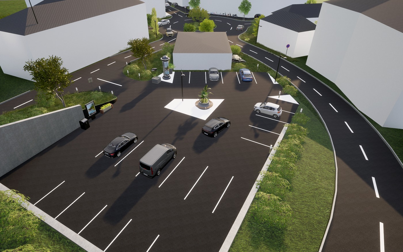
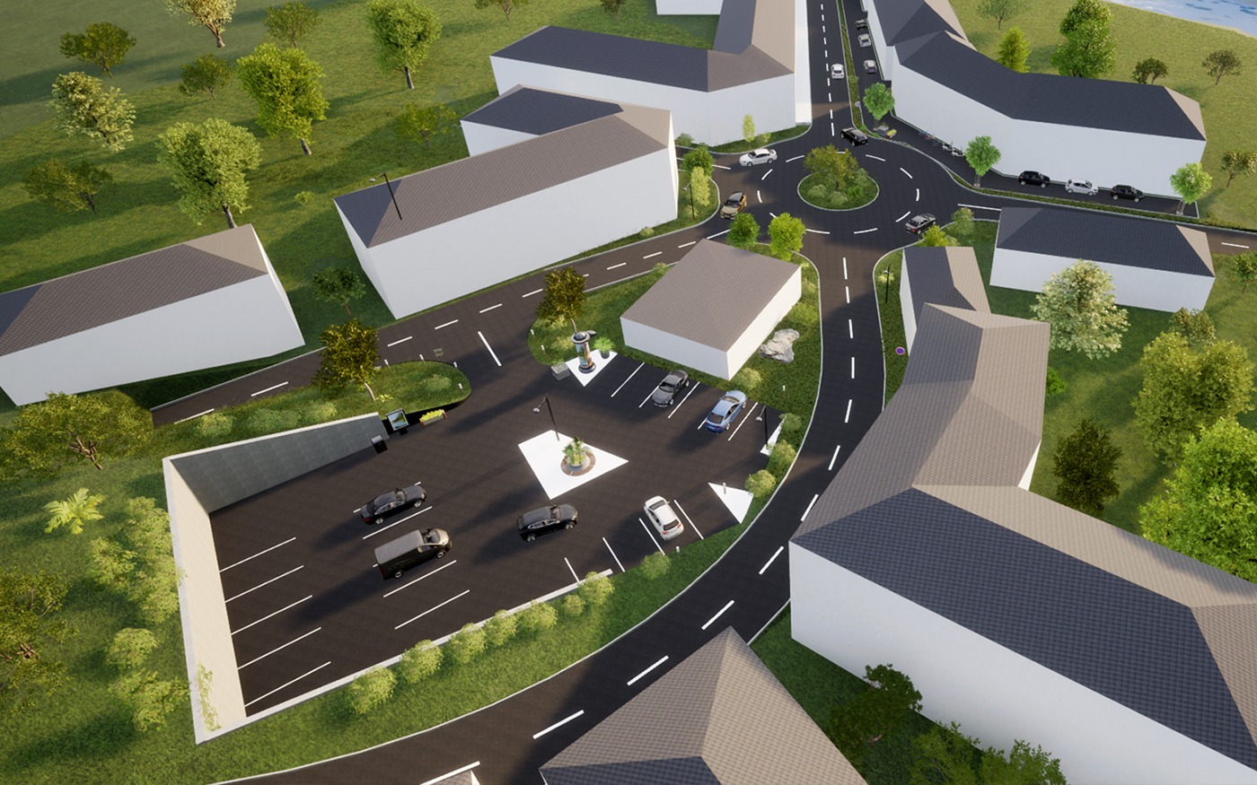
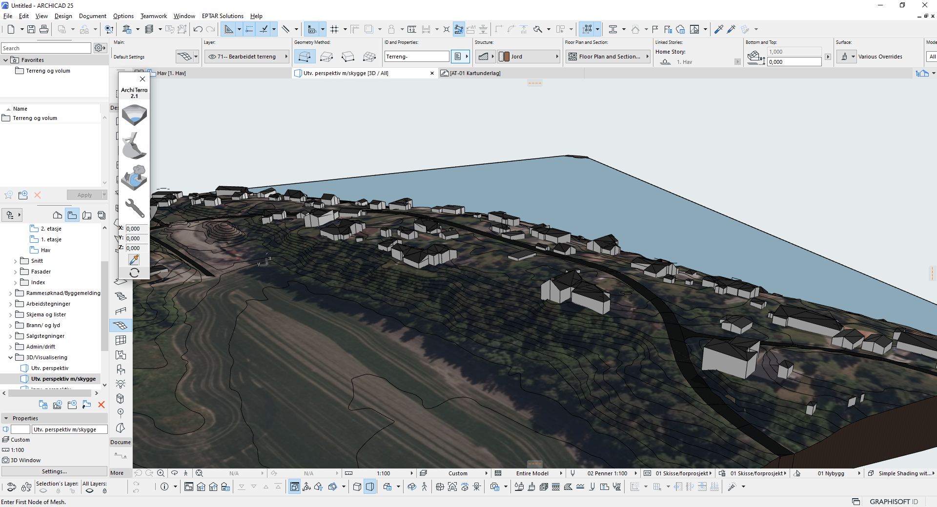
Architerra is the solution for Archicad users to create and manage 3D terrain models. It is a useful tool especially if you need to work with large sites, allowing the insertion of other elements such as roads, plateaus, buildings and others.
Dettagli
 Archicad 23-29
Altre soluzioni simili

Strumento Zona Umida
Progetta e modella pavimenti per zone umide in Archicad con pendenze automatiche e controllo di conformità in tempo reale.

A-NULL Club Tools
Objects, commands, and templates that make your day-to-day planning work more efficient in a smart way and speed up your work.

Live TOP-Stamp
Sums up zone areas per apartment and updates them automatically.

Tiling
Covering surfaces in Archicad.

Reinforcement
Reinforce concrete constructions in Archicad.

Twindo
Twindo is a spatial intelligence platform, which has both a website and a standalone app. Our app is used to scan real world spaces, which we then transform into editable Archicad as-built models.